Rotorua Volcano
Updated: Apr 20, 2024 02:06 GMT -
Caldera 757 m / 2,484 ft
New Zealand, -38.08°S / 176.27°E
Current status: normal or dormant (1 out of 5)
New Zealand, -38.08°S / 176.27°E
Current status: normal or dormant (1 out of 5)
Last update: 26 Mar 2019
[smaller] [larger]
Rotorua volcano eruptions: Pleistocene
Latest nearby earthquakes
| Time | Mag. / Depth | Distance / Location | |||
| Apr 12, 09:44 pm (Auckland) | 3.0 129 km | 11 km (6.8 mi) to the E | Info | ||
| Wednesday, April 10, 2024 GMT (1 quake) | |||||
| Apr 10, 05:00 pm (Auckland) | 3.2 164 km | 22 km (14 mi) to the W | Info | ||
| Tuesday, April 9, 2024 GMT (1 quake) | |||||
| Apr 10, 07:58 am (Auckland) | 2.7 174 km | 13 km (7.9 mi) to the NW | Info | ||
| Sunday, April 7, 2024 GMT (1 quake) | |||||
| Apr 7, 11:19 pm (Auckland) | 3.1 136 km | 15 km (9.4 mi) to the NE | Info | ||
| Thursday, April 11, 2024 GMT (1 quake) | |||||
| Apr 12, 02:40 am (Auckland) | 2.5 163 km | 24 km (15 mi) to the NW | Info | ||
| Wednesday, April 17, 2024 GMT (1 quake) | |||||
| Apr 17, 10:30 pm (Auckland) | 2.4 110 km | 9.6 km (6 mi) to the SW | Info | ||
Background
The 22-km-wide Rotorua caldera is the NW-most caldera of the Taupo volcanic zone. Rotorua is the only single-event caldera in the Taupo volcanic zone and was formed about 220,000 years ago following eruption of the >340 cu km rhyolitic Mamaku Ignimbrite. Although caldera collapse occurred in a single event, the process was complex and involved multiple collapse blocks. The major city of Rotorua lies at the south end of the lake that fills much of the caldera. Post-collapse eruptive activity, which ceased during the Pleistocene, has been restricted to lava dome extrusion without major explosive activity. The youngest eruptive activity at Rotorua consisted of the eruption of three lava domes less than 25,000 years ago. The major thermal areas of Takeke, Tikitere, Lake Rotokawa, and Rotorua-Whakarewarewa are located within the caldera or outside its rim, and the city of Rotorua lies within and adjacent to active geothermal fields.---
Smithsonian / GVP volcano information
Rotorua Volcano Photos
Mudpool in Rotorua, North island, New Zealand (Photo: Janka)
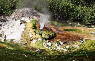
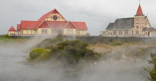
Hot spring in Waimungu Volcanic Valley, one of Rotorua volcano's most known tourist attractions, NZ (Photo: Richard Arculus)
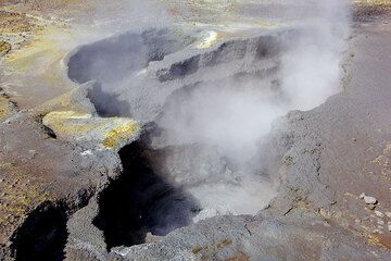
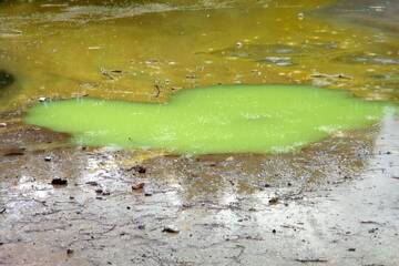
Boiling mud pond, Rotorua volcano, New Zealand (Photo: Tom Pfeiffer)
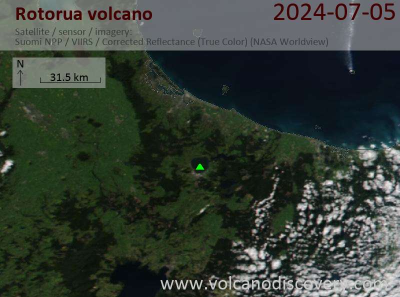
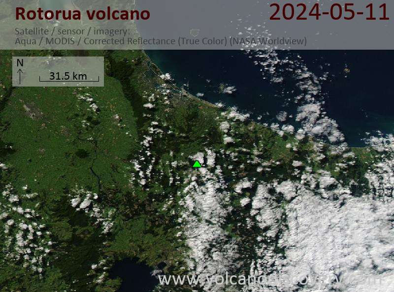
Latest satellite images