Coatepeque Volcano
Updated: May 16, 2024 02:33 GMT -
caldera 746 m / 2,447 ft
El Salvador, 13.87°N / -89.55°W
Current status: normal or dormant (1 out of 5)
El Salvador, 13.87°N / -89.55°W
Current status: normal or dormant (1 out of 5)
Coatepeque volcano is a large 7 x 10 km wide caldera 50 km west of San Salvador city. The caldera is elongated in SE-NW direction, with walls rising up to 800 m above the floor in its southwestern part. An up to 120 m deep and 5 km diameter lake occupies the eastern part of the caldera.
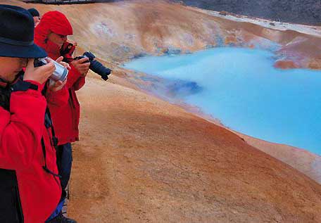
Hot springs occur near the lake shores, but there are no certain historical eruptions from Coatepeque.
[smaller] [larger]
Coatepeque volcano eruptions: unknown, less than 10,000 years ago
Latest nearby earthquakes
| Time | Mag. / Depth | Distance / Location | |||
| May 14, 06:30 am (El Salvador) | 3.4 6 km | 26 km (16 mi) to the W | Info | ||
| Monday, May 13, 2024 GMT (1 quake) | |||||
| May 13, 10:26 am (El Salvador) | 2.3 8 km | 16 km (10 mi) to the W | Info | ||
| Thursday, May 2, 2024 GMT (4 quakes) | |||||
| May 2, 01:08 pm (El Salvador) | 2.8 6 km | 20 km (12 mi) to the W | Info | ||
| May 2, 11:45 am (El Salvador) | 2.2 7 km | Info | |||
| May 2, 11:40 am (El Salvador) | 2.2 1 km | Info | |||
| May 2, 03:54 am (El Salvador) | 3.0 4 km | 18 km (11 mi) to the W | Info | ||
Background
The caldera formed by the collapse of several overlapping stratovolcanoes east of Santa Ana volcano, and part of Santa Ana itself, during major rhyolitic pumice eruptions between 72,000 and 51,000 years ago. Deposits from these eruptions form a large layer present in most of southwestern El Salvador and parts of Guatemala.Post-caldera eruptions produced basaltic cinder cones and lava flows near the western margin of the caldera and the about 6 rhyodacitic lava domes along a NE-SW line near the caldera lake margins.
The highest of the domes forms the wooded island of Isla de Cabra, or Cerro Grande. The youngest dome, Cerro Pacho, has probably formed less than 10,000 years ago.
---
from: Smithsonian / GVP volcano information


